 Image 1 of 1
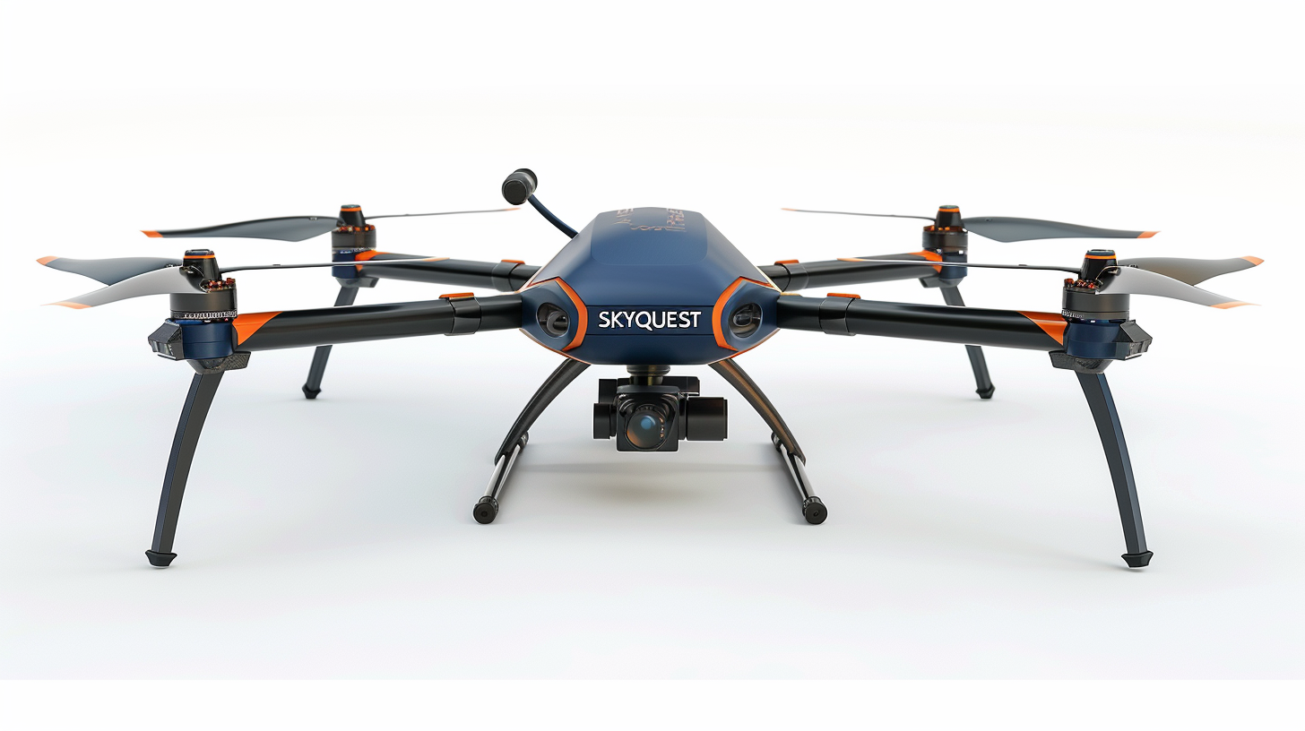
Our roof assessment service delivers a complete aerial analysis using state-of-the-art drone technology and advanced imaging software. Every flight captures high-resolution photos from multiple angles, ensuring full roof coverage without the need for manual access or scaffolding.
Each project includes a professionally formatted photo report showcasing structural conditions, wear patterns, and potential problem areas in crisp detail. In addition, a precision-generated digital roof sketch provides accurate dimensions, slope data, and layout mapping for project planning, insurance documentation, or repair estimates.
This service offers a faster, safer, and more data-driven approach to roof inspections—transforming what once took hours of manual work into clear, actionable insights delivered with accuracy and efficiency.